
Algonquin Canoe Routes: Portage Networks and Lake Chains
An overview of linked lake systems in Algonquin Provincial Park, covering portage lengths, campsite distribution, and access points from Highway 60.
Detailed route descriptions, gear checklists, and safety notes covering flatwater lakes and moving-water rivers across Ontario, British Columbia, and beyond.

Articles
Each article covers a specific aspect of touring — from choosing a route and preparing gear to reading water and managing risk.
An overview of linked lake systems in Algonquin Provincial Park, covering portage lengths, campsite distribution, and access points from Highway 60.
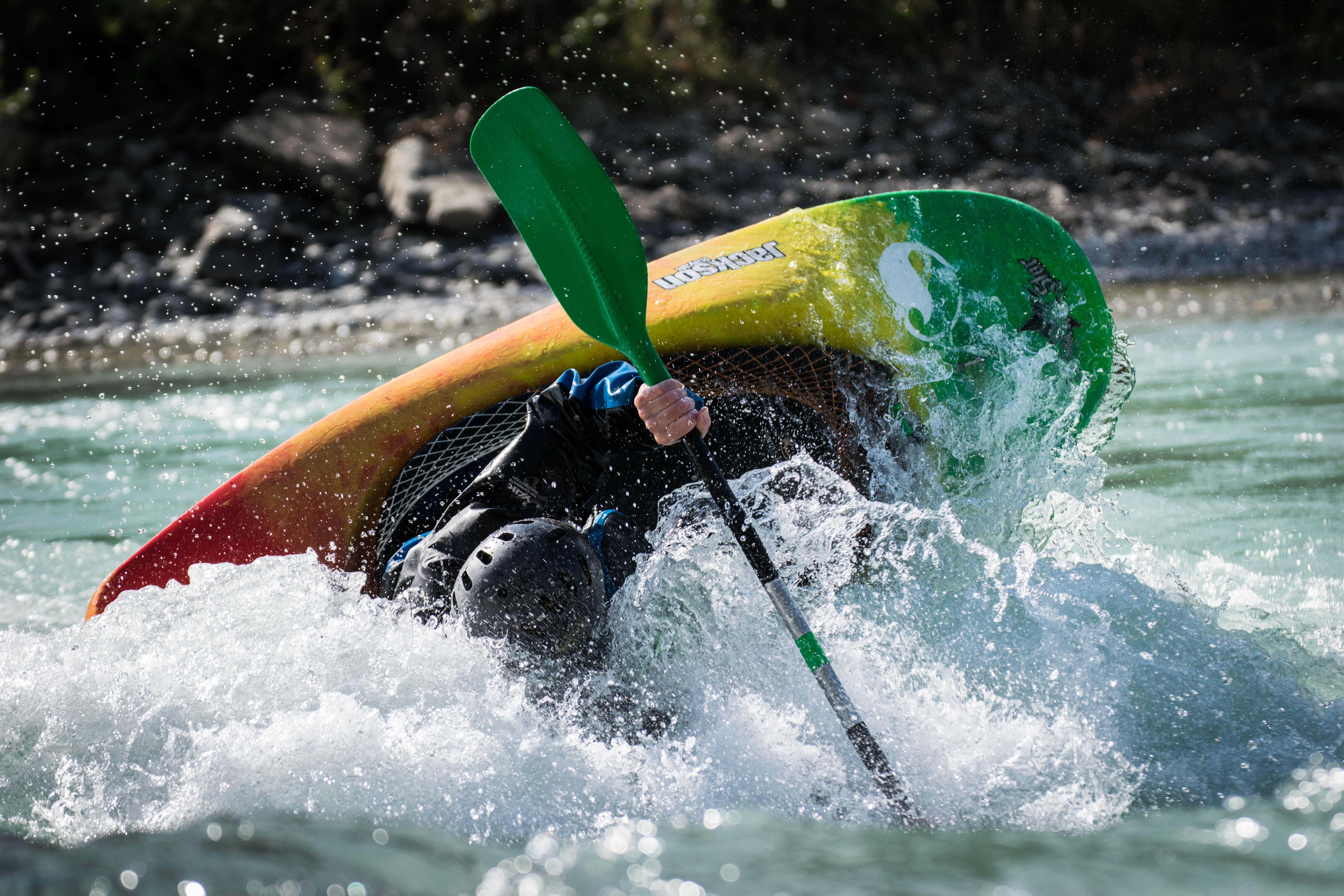
Practical notes on reading river hydraulics, selecting safe lines, and applying self-rescue and group-rescue techniques on moving water.

A structured checklist covering hull selection, safety equipment, camping kit, and food planning for self-supported flatwater touring trips of three or more days.
Quick Reference
Major paddling regions in Canada, with notes on character and typical season.
Ontario offers the largest concentration of canoe-accessible lakes in Canada. Algonquin Provincial Park alone contains over 1,500 km of canoe routes, with portages ranging from flat 50-metre carries to steep 2 km trails. The French River, a National Historic Site, follows the route used by early fur traders and provides Class I–II moving water suitable for intermediate paddlers.
The BC coast provides some of the most technically challenging sea kayaking in North America, alongside calmer protected fjords. Desolation Sound Marine Park, accessible from Powell River, offers warm anchorages and reliable charts. Paddlers should carry a marine VHF radio and be comfortable with tidal current calculations before attempting exposed crossings.
La Vérendrye Wildlife Reserve covers over 13,000 km² of boreal forest with a largely undeveloped route network. The Rivière des Outaouais (Ottawa River) corridor includes everything from flatwater lake sections to Class III rapids, and several outfitters operate along its length offering shuttle services and basic camping infrastructure.
The Yukon River and its tributaries represent remote, multi-week expeditions rather than weekend trips. The Teslin-Yukon route from Johnson's Crossing to Dawson City covers roughly 740 km with minimal infrastructure. Paddlers require strong wilderness skills, bear awareness, and cold-water immersion gear regardless of air temperature.
Contact
Maple & Shore covers kayaking and canoe touring routes across Canada, with a focus on practical trip notes rather than promotional content. Articles are updated seasonally to reflect current portage conditions, campsite availability changes, and park regulation updates.
For corrections, route additions, or factual queries, use the form or the contact address below.
Maple & Shore
Toronto, Ontario, Canada